
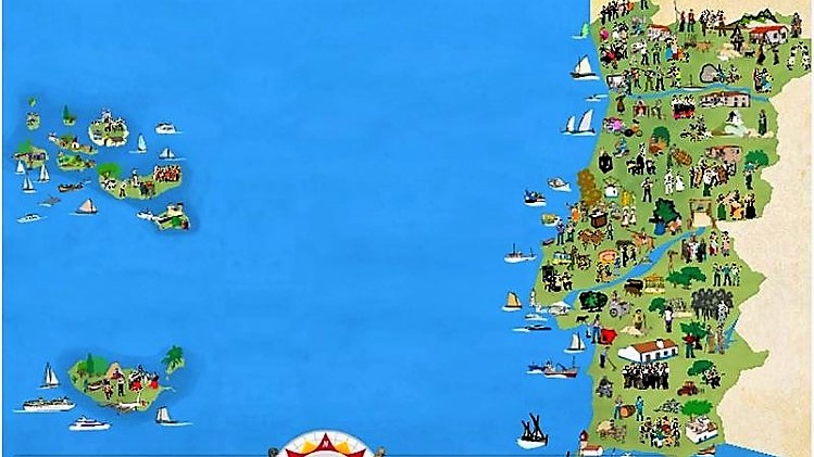
Well, to better know and visualize where is the location of my Country in the World, here I bring you some maps, and of course, you can always check it for yourselves on Google Maps 😉
Firstly I highlight the location of Portugal on the World Map, then Europe, and finally Portugal itself, provinces, districts, and cities.
Of course, if you feel like visiting us, I will be happy to be the first to welcome you!


Portugal is located in South-Western part of Europe, on the Iberian Peninsula, Its bordered by the Atlantic Ocean to the west and south and by Spain to the north and east. It lies between latitudes 32° and 43° N, and longitudes 32° and 6° W.

Portugal is also part of Iberian Peninsula along with Spain. Portugal shares its international boundary with Spain from the north and east side. However, in the western side Atlantic Ocean lies.

There are 18 districts of mainland Portugal as you can see in Portugal: Aveiro, Beja, Braga, Bragança, Castelo Branco, Coimbra, Évora, Faro, Guarda, Leiria, Lisbon, Portalegre, Porto, Santarém, Setúbal, Viana do Castelo, Vila Real and Viseu – each district takes the name of the district capital. Within the European Union NUTS (Nomenclature of Territorial Units for Statistics) system, Portugal is divided into seven regions: the Azores, Alentejo, Algarve, Centro, Lisboa, Madeira and Norte, and with the exception of the Azores and Madeira, these NUTS areas are subdivided into 28 subregions. Continental Portugal is agglomerated into 18 districts, while the archipelagos of the Azores and Madeira are governed as autonomous regions; the largest units, established since 1976, are either mainland Portugal (Portuguese: Portugal Continental) and the autonomous regions of Portugal (Azores and Madeira).
Lisbon is the capital city as well as the largest city of the country. The government type of Portugal is a democratic republic, which has been adopted in the year 1976 with the ratification of the Constitution. It is a member of the European Union, the United Nations, NATO, the Latin Union, the Organization of Ibero-American States, OECD, Community of Portuguese Language Countries, and the European Union’s Eurozone.
Portugal has a population of 10,6 million inhabitants (2011) and a population density of 115,4 inhabitants/km2, with higher concentrations along the coast.
Portugal is defined as a Mediterranean climate (Csa in the south, interior, and Douro region; Csb in the north, centre and coastal Alentejo; and also Semi-arid climate or Steppe climate (Bsk in certain parts of Beja district) according to the Koppen-Geiger Climate Classification), and is one of the warmest European countries: the annual average temperature in mainland Portugal varies from 12 °C (53.6 °F) in the mountainous interior north to over 18 °C (64.4 °F) in the south and on the Guadiana river basin as its shown in Portugal climate map. The Algarve, separated from the Alentejo region by mountains reaching up to 900 metres in Pico da Fóia, has a climate similar to that of the southern coastal areas of Spain or Southern California.

The Portuguese coast is extensive; in addition to approximately 943 km (586 mi)) along the coast of continental Portugal, the archipelagos of the Azores (667 km) and Madeira (250 km) are primarily surrounded by rough cliff coastlines as its shown in Portugal coast map. Most of these landscapes alternate between rough cliffs and fine sand beaches; the region of the Algarve is recognized for its tourist-friendly sand beaches, while at the same time its steep coastlines around Cape St. Vincent is well known for steep and foreboding cliffs. An interesting feature of the Portuguese coast is Ria Formosa with some sandy islands and a mild and pleasant climate characterized by warm but not very hot summers and generally mild winters.
Hoping you enjoyed it, come and visit us!
